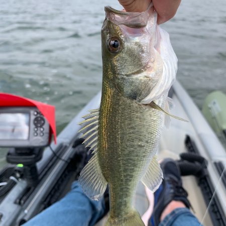
I just take a photo on my phone. It tracks time, date, and location. Get a picture of the lure in there too, and you have the lure and a good estimation of depth. Plus a relative size. If it's big enough, I'll get a picture of it on the scale too, but that's more for showing off than useful data.
And to be honest, it's not that useful to me. It might be more useful if I also kept track of weather patterns, water temperatures, air pressure, wind direction and speed, etc. And you'd have to add to that that none of these lakes near me are natural lakes. They're all either power plant lakes or water reservoirs. And power plants around here will go active or inactive based on the current market prices of coal vs. natural gas, so you never know if one is going to run a lot one year, or hardly at all, and that will affect the water temperature and current speed outside of the weather. And since we don't invest much in infrastructure around here, you never know if a water treatment plant will go down, and then they have to divert water from one lake to another while they save up the money to eventually fix it. So water levels and temperatures aren't necessarily directly tied to the weather patterns and would need to be recorded as well. And with climate change, no two years seem to be similar anymore, weatherwise. In the last 15 years, we've had the hottest year on record, the coldest, the driest, and the wettest. And a couple of those records have been broken more than once.
Ultimately, I think it's more hassle than it's worth for me. Plus, I'm an amateur doing it for fun. I don't WANT to make it a job.