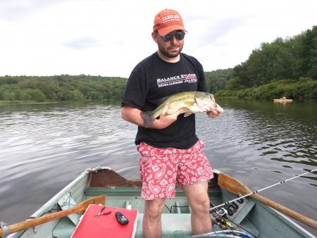
Awesome! You got some good info to work with. You likely found the bottom composition you want. Did you try following your search bait with a jig? (I like small bass jigs w/low to moderate action craw trailers or a small tubes)
The Navionics maps are awesome! The only thing they don't provide is detailed info on bottom composition, flow, and current. Flow and current, you can at least get a feel for from the shape of the river. The bottom composition part is trickier.
Areas catching my eye: with the water level likely up, the areas in and around the break between 13 and 15 mile islands may be very productive. On that same map, the oxbow may also be worth checking out. Plum Creek's mouth, the downstream point it creates, and the point across the creek may be productive as well as the current protected areas down stream within proxitimity of the seam. The bottom map has the two obvious points and the oxbow, but upstream of the points there are some "rolling shallows" (for lack of a better term) - if there is cover to create current breaks, these could be really worthwhile, too. If I were to pick one screen shot not knowing anything about river flow, cover, weeds, or bottom structure, I'd take a closer look at that first map.
As for for help with current and seams... Do you have an anchor trolley set up on your kayak? You're going to want to set yourself up to fish both sides of the seam. Some fish are going to be in each stage of the pre-spawn/pre-spawn cycle, so don't be surprised if you get hammered behind rocks in the current off the seam while you're seeing males guarding beds in the protected shallows. Also, to make finding changes in current easier, watch bubbles/film/debris and pay attention to where you see differences in speed. Watch instructional videos of someone drifting nymphs or dry flies and you'll get a ton of information about how to properly fish seams, eddies, and changes in current. Most bass fisherman are absolute garbage at it.