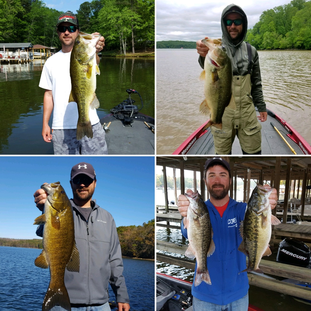
Long post incoming ...Not everything is applicable to ever body of water, but these are the big things I do when prepping for a tournament. I don't go through every single one of these every time, some bodies of water are more suited for heavy preparation than others for me.
Maps/Charts - Navionics online charts have really made things a lot easier, but the old big, folding paper maps are still a good reference to get a perspective of the whole lake instead of just whats on your computer screen. If you are fishing tidal water or the great lakes, look at NOAA charts also, they can show things differently than other maps do. I also make my own maps from Navionics screen shots and print them on 11x17 (half the lake on each side). I'll mark them up with areas I want to pre-fish or explore and also with my own historical notes/spots. The 11x17 is big enough to read and small enough to tuck in the windshield of my boat for easy access throughout the day. It's my cheat sheet so that I don't forget about things I intended to check out or to help refocus myself if things get off the rails a little bit. It's a lot of work and I will update it for each tournament in many cases...But for me it's been one of the best prep items I've ever used.
Water conditions - Temperature, levels, clarity, current, dam operations, tides or anything else. All, some, or none may apply depending on the body of water. I try to keep an eye on this in the weeks leading up to the tournament to get a feel for the general trends. This info is not always available, but much of it usually is if you look in the right places. The importance of this data is not in the physical data itself so much, but more of how it applies to the body of water and the way you fish. That part is on you to discover through experience .
Weather - Again, I try to check it in the time leading up to the tournament to get an idea for the trend. I also will check on weather in the areas upstream in case it might have an effect on the lake/river I'm fishing. Just remember that forecasts are never exact and often change (sometimes in a big way) on short notice. Make sure to check it once you get to the lake and not rely on what you saw the day before....I've changed gears right before launching because things like wind direction or cloud cover forecasts changed dramatically overnight. I like to use wind direction/speed and cloud cover forecasts primarily for fishing concerns and temperature forecasts to determine how I need to dress .
Satellite Mapping - This is huge for me, on many lakes it's my #1 prep tool. Cycling back through historic images will usually show times of low water, better water clarity, or better overall images that will let you see things differently and can reveal things you might otherwise overlook. I like to look for images taken in winter since the water is usually lower/clearer and the leaves are off the trees, both of which will give you a better look at the shorelines. You can also use satellite mapping to see things like where grass grows, if there are sections with clearer/dirtier water, locations of docks, etc...I will put things I find on satellite images on my paper maps so that I can easily check them out on the water, sometimes I'll even create waypoints to transfer to my GPS if's really specific. Many times Navionics or other charts will simply stop or be inadequate in the very backs of creeks or rivers or coves, showing them to appear as just a big flat area of nothing (or unmapped altogether)...It can cover fairly large areas too. I use satellite mapping to find and mark things I'm interested in and then transfer those waypoints to my GPS so that I can target them and/or safely navigate the area. Obviously, all the satellite stuff I do is primarily geared toward relatively shallow water fishing/patterns.
Reports/Results - I look at these but don't place a huge emphasis on it. Most reports online are brief and generally just consist of "I got this nice one on a jig...". Most people these days aren't posting specifics in public places (I never do) since they know so many people are looking for that kind of info now. If you look on local forums you can get a general feel for the conditions from "The lake is fishing tough/great" type posts even if there is no specific info in them. There are also the weekly type reports from guides or local sites, but they are often too general or are just canned paragraphs so their usefulness is limited. Results are good indicator of how the lake is fishing, but again take it with a grain of salt since things change all the time and some tournaments/clubs/trails are better than others in terms of results.
I probably do more tournament prep than others might want or have time to do, but I enjoy it almost as much as the actual fishing. With repetition, I think it helps you as an angler overall beyond just a specific lake.