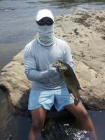


91


TriCityBassin' replied to Kellss's topic in General Bass Fishing Forum
.jpg.3f34d2173774df99fc1e9911eb263d83.jpg)

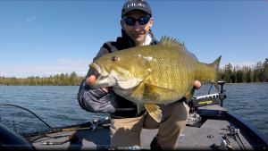
TriCityBassin' replied to TriCityBassin''s topic in Fishing Rods, Reels, Line, and Knots
TriCityBassin' replied to TriCityBassin''s topic in Fishing Rods, Reels, Line, and Knots
.jpg.6c6098ad640474e35f4efd8816b90acd.jpg)
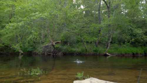
TriCityBassin' replied to J.Vincent's topic in Fishing Rods, Reels, Line, and Knots
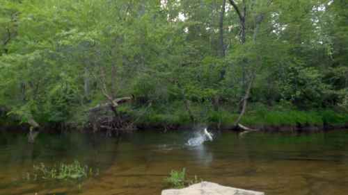
TriCityBassin' replied to A-Jay's topic in General Bass Fishing Forum
We have placed cookies on your device to help make this website better. You can adjust your cookie settings, otherwise we'll assume you're okay to continue.